Inspired by a recent project shared by folks at NC State’s Department of Health and Exercise Studies, and the many members of the NC State CVM community who enjoy running, cycling, walking, hiking and other outdoor adventures in exercise, we’ve created a space for the CVM community to share their favorite routes using RidewithGPS – The CVM Route Share!
The Origin Story:
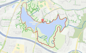
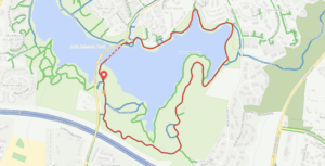
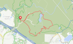
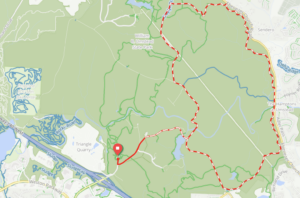
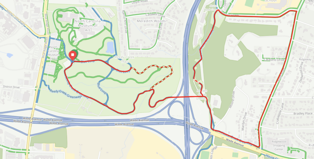
 To kick off the Route Share, we asked Dr. Mat Gerard, a CVM community member and avid runner, to collaborate with us on some routes, trying out the RidewithGPS app, and giving us his thoughts on the project. Great sport that he is, he quickly plotted 5 of his favorite local running routes, including this NCMA (“Art Park”) 4 miler (our first post!), and sent them in to start off the project. With positive feedback from Dr. Gerard, we set up this blog, and created a post for each route. The hope is that these 5 routes will lead to further collaboration throughout the CVM, with others joining in to help build an online “collection” of routes to share with each other and the community via this page!
Submit a Route:
Members of the NC State CVM community who are runners, walkers, cyclists, and outdoor adventurers are invited to use the RidewithGPS to plot your favorite routes, and send your route link and any additional information on the route to us through this submission page. We’ll post submissions on this blog page, with the information you provide on the form (sharing your name and information is optional, but we’d love to give credit where it’s due!) See the form for details on what gets posted.
Using This Site:
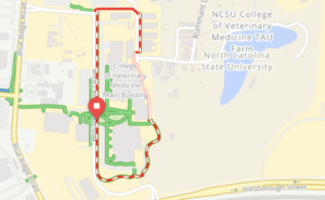
Routes can be previewed on the blog and viewed on RideGPS through links provided in each post. These links can be sent to your phone to have the route and directions available on the go.
Tags help site users to find routes with certain characteristics. Examples of tags might include #nearCVM #hills #cycling #nature #unpaved. To browse tags, see the menu on the right side of the page, and click on tag words listed to see posts with each tag.
DISCLAIMER: Please consider that any outdoor activity has inherent dangers and physical risks. By voluntarily choosing to use one of the routes posted on this site, you assume the risks (including but not limited to personal injury) associated with exercise and with the use of outdoor routes which are publicly accessible and where route hazards can and do occur.
 To kick off the Route Share, we asked Dr. Mat